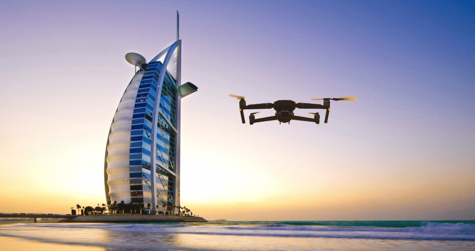
Drone survey is a rapidly growing sector within the drone industry. Recognizing this, RCG expanded a dedicated in-house Survey and geospatial department. We specialize in providing High-Precision aerial mapping and survey services using advanced drone technology. As a division of RCG Academy, our goal is to transform raw aerial data into actionable geospatial insights that empower smarter decision-making across industries.
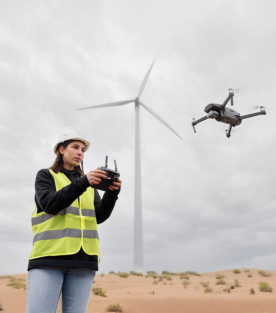
We provide expert inspection services for your organization’s mission critical assets using drone technology.
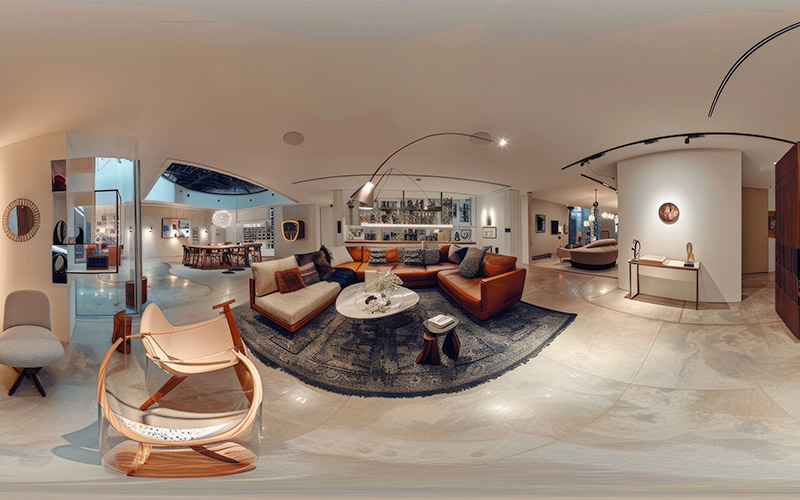
Immersive Digital Experiences for Real Estate & Businesses At RCG Aerial Solutions, we create high-quality 360° virtual tours that allow your clients to explore spaces remotely anytime, anywhere.
Read More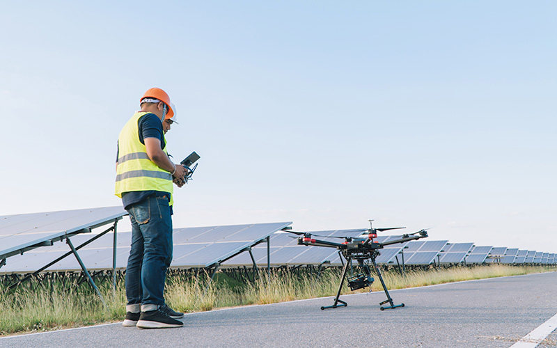
Accurate 3D Laser Scanning & Building Documentation RCG provides Terrestrial Laser Scanning (TLS) and Scan-to-BIM services to capture real-world environments with millimeter precision. We transform
Read More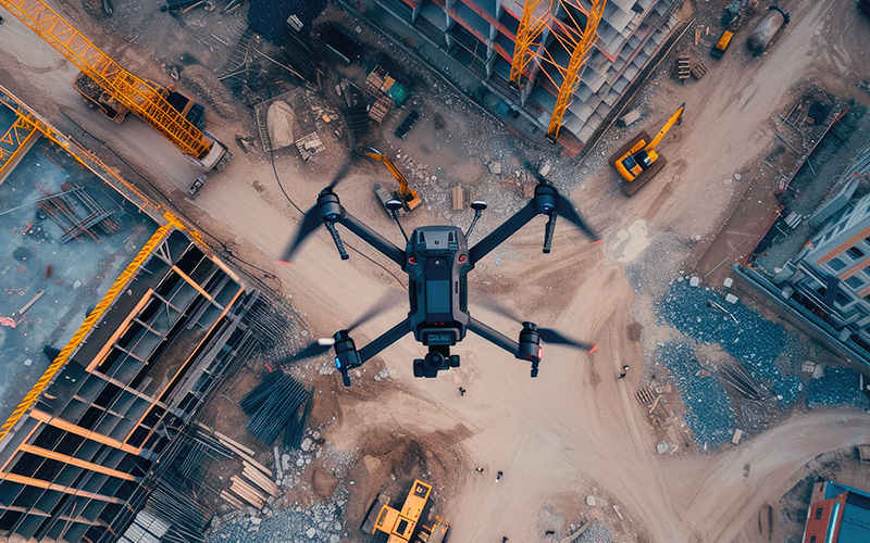
Precision Ground Survey Solutions for Engineering & Construction At RCG Aerial Solutions, we deliver high-accuracy ground topographic surveying services designed to support engineering, constructio
Read More
Aliquam sit amet eleifend odio. Donec at dictum mi. Duis auctor, tellus a elementum pharetra, sapien magna rhoncus velit, id blandit mauris dolor eu turpis. Aenean aliquam nisl aliquam, suscipit ligula sit amet, mattis libero.

Aliquam sit amet eleifend odio. Donec at dictum mi. Duis auctor, tellus a elementum pharetra, sapien magna rhoncus velit, id blandit mauris dolor eu turpis. Aenean aliquam nisl aliquam, suscipit ligula sit amet, mattis libero.

Aliquam sit amet eleifend odio. Donec at dictum mi. Duis auctor, tellus a elementum pharetra, sapien magna rhoncus velit, id blandit mauris dolor eu turpis. Aenean aliquam nisl aliquam, suscipit ligula sit amet, mattis libero.

Aliquam sit amet eleifend odio. Donec at dictum mi. Duis auctor, tellus a elementum pharetra, sapien magna rhoncus velit, id blandit mauris dolor eu turpis. Aenean aliquam nisl aliquam, suscipit ligula sit amet, mattis libero.